Services

We provide geospatial and technical services for our clients for resource management and environmental projects

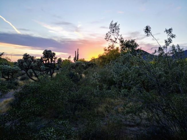
Arizona Sunset in the Desert

GIS and Mapping

We use GIS in almost everything that we do. Our diverse team will use GIS analysis and mapping tools to support your project, whatever that may be. We take pride in our professionality and the quality of the cartographic designs that are produced. Our GIS services include, but are not limited to:

  • Data Conversion and Integration
  • Cartographic Mapping
  • Spatial Data Management
A surveyor taking measurements in a field

Remote Sensing

The use of satellite and aerial imagery has opened up many avenues for landscape information. We make sure to keep our landscape imagery up-to-date by regularly applying medium and high-resolution multispectral imagery to map the landscape. We provide cost-effective data solutions to help support your project. Our Remote Sensing services include the following, and more:

  • Ecological Land Classificatin (ELC)
  • Image Processing
  • Change Detection
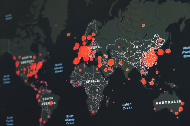
A map of data

Data Analysis

We are here to elevate and support projects and business objectives, providing our teams strength in geospatial analysis and data management. Our team's diversity allows us to have a wide range of experience when working with dattsets and different information sources. Our Data Analysis services include, but are not limited to:

  • Environmental Impact Assessments (EIA)
  • Land Use Assessment
  • Wildlife Habitat Mapping and Movement Analysis
Here at SymbioGIS we have a well rounded team who are ready to help clients from many different sectors. We have partnered with various industry leaders including those in: Business Mapping, Community Development, Enterprise GIS, Health Care Mapping, Location Intelligence, Territory Mapping and many more. Check out all of our areas of expertise to see how we can help your team!