Mapping the Dumoine Tote Road Trail
The Friends of the Dumoine River is a non-profit organization based in the Ottawa River Valley who have asked our team to provide GIS services for their new project, the Dumoine Tote Road Trail. They would like to attract individuals and groups to the trail who are passionate about wilderness exploration and preservation. The Friends are working alongside several partners to increase community engagement and are very close to publicizing their work; as such they need specific mapping materials to help get their vision for this new backcountry experience off the ground. We have produced a printable PDF trail map, an interactive web map, and a custom website to inform and engage the public about the Dumoine Tote Road Trail.
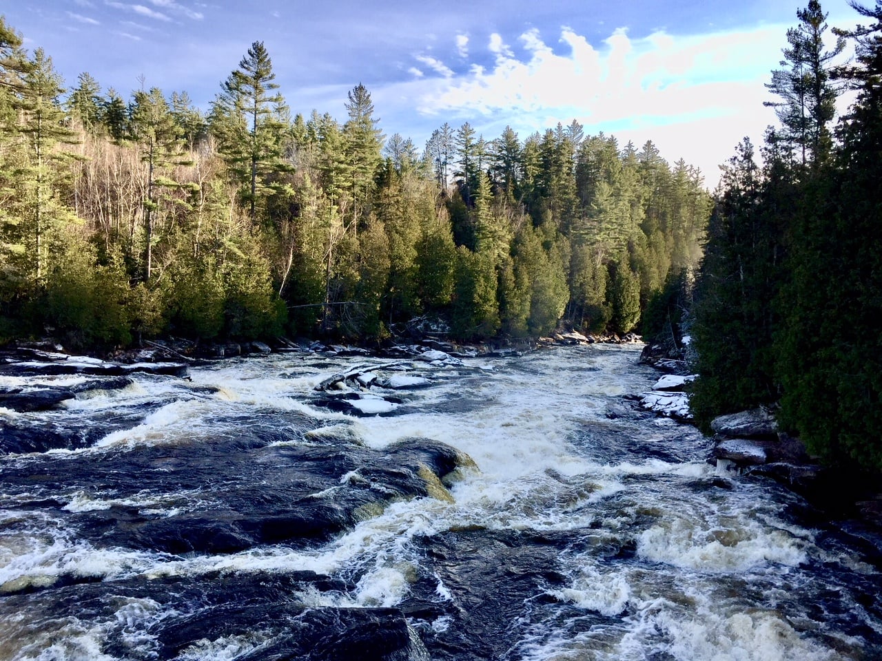
The Dumoine River
